February 16, 2005
gps tracklog storytelling
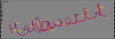
Here's a new and interesting GPS + photos + stories app to try out: Magnalox ("magnificent logs" ;-). It's rather delightfully geeky, as evidenced by 1) the detailed graphs of altitude and velocity displayed next to the location trace, and 2) the first magnalog example carries a clever message:

Hey Volker, it's cool! Have you looked at integrating this with google maps, a la Glen's movin gmap?
Posted by Gene at February 16, 2005 09:20 AM | TrackBackComments
Hi Gene,
yes, I thought about that.
Just click on the flashing crosshair, and You'll get links to other (worldwide) street maps and other informations (sky chart etc).
For legal reasons I'm not allowed to use their maps as my backgrounds for free.
Have fun
Volker
Post a comment
